Milwaukee Road
2nd Sub
An old friend of mine and I took a bycle ride on the MILW 2nd sub
from Cedar Falls up to East Ragnar and beyond a little ways. This is just
short of being a ten mile round trip. We purposely rode uphill
so that we could easily do a little railroad archaeology.
It took about 2 and half hours to ride up there, and 25
minutes on the return...
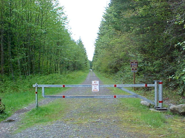
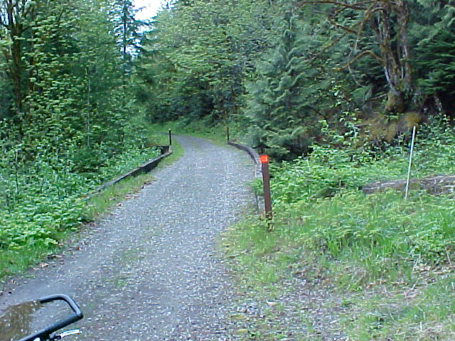
The beginning
of the Iron Horse State Park Trail.
This is
at the Seattle Watershed Educational Center located
just east
of the Sub-Station foundations.
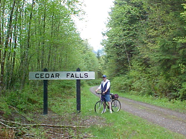
My old friend
Greg at the improperly placed station sign....
A nice touch,
but about a mile off from where it belongs.....
The old
Station of Cedar Falls,where this sign belongs,
is now behind
the gate of the Seattle Water Shed about a mile west of here.
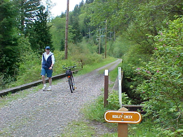
Boetzke Creek
This is
the proper spelling of this water cource.
Unfortumately
this sign is miss-placed from
historical
sources that have seen this photo.
I'll try
to get the correct info on this watercource
as soon
as someone can positively identify this
exact creek.
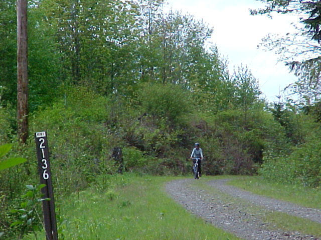
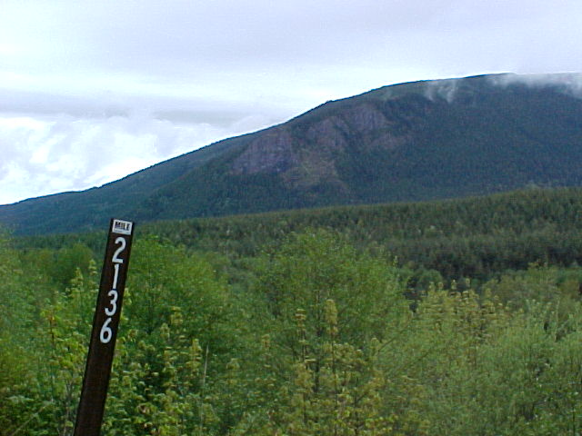
Looking east
at Mile Post 2136.
Looking railroad
west at MP 2136
The State
Park was very carefull about using the
correct
Milwaukee Road engineering department
signs at
their exact original locations.
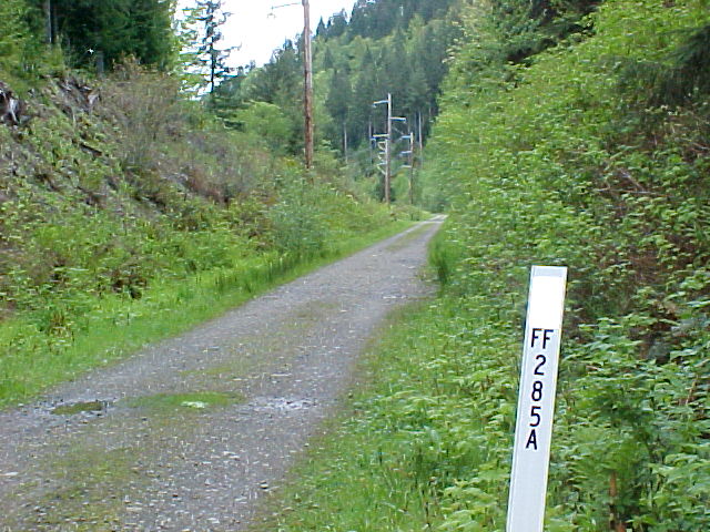
This sing
pictured here denotes a culvert under
the Right-of-Way......
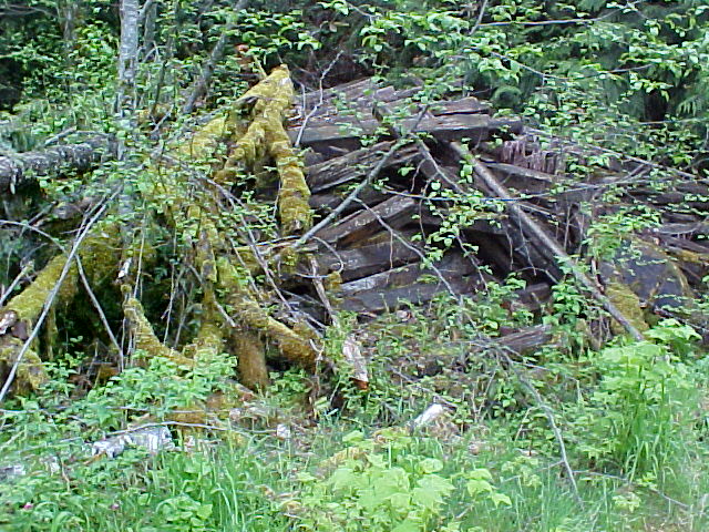
When they
took out the track, they took the ties
and chucked
them into the weeds.
I don't
know why these were not removed.
I was told
that the ties were pretty fair,
and it was
pumping mud that caused so much
problems
with track alignment.....
If you look
closely, this trestle has slipped of allignment
a couple
of feet to the left. This thing has slipped
so bad that
if this was still in service, you'd have
bypassing
of the drawbars....
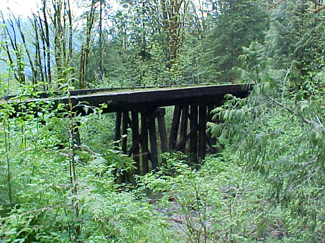
You can see
that the bridge is " cockeyed " just abit....
Next Page